Langham Parish Council
Langham, Essex village of the year 2008, is a parish close to the City of Colchester
Langham and its History
Location

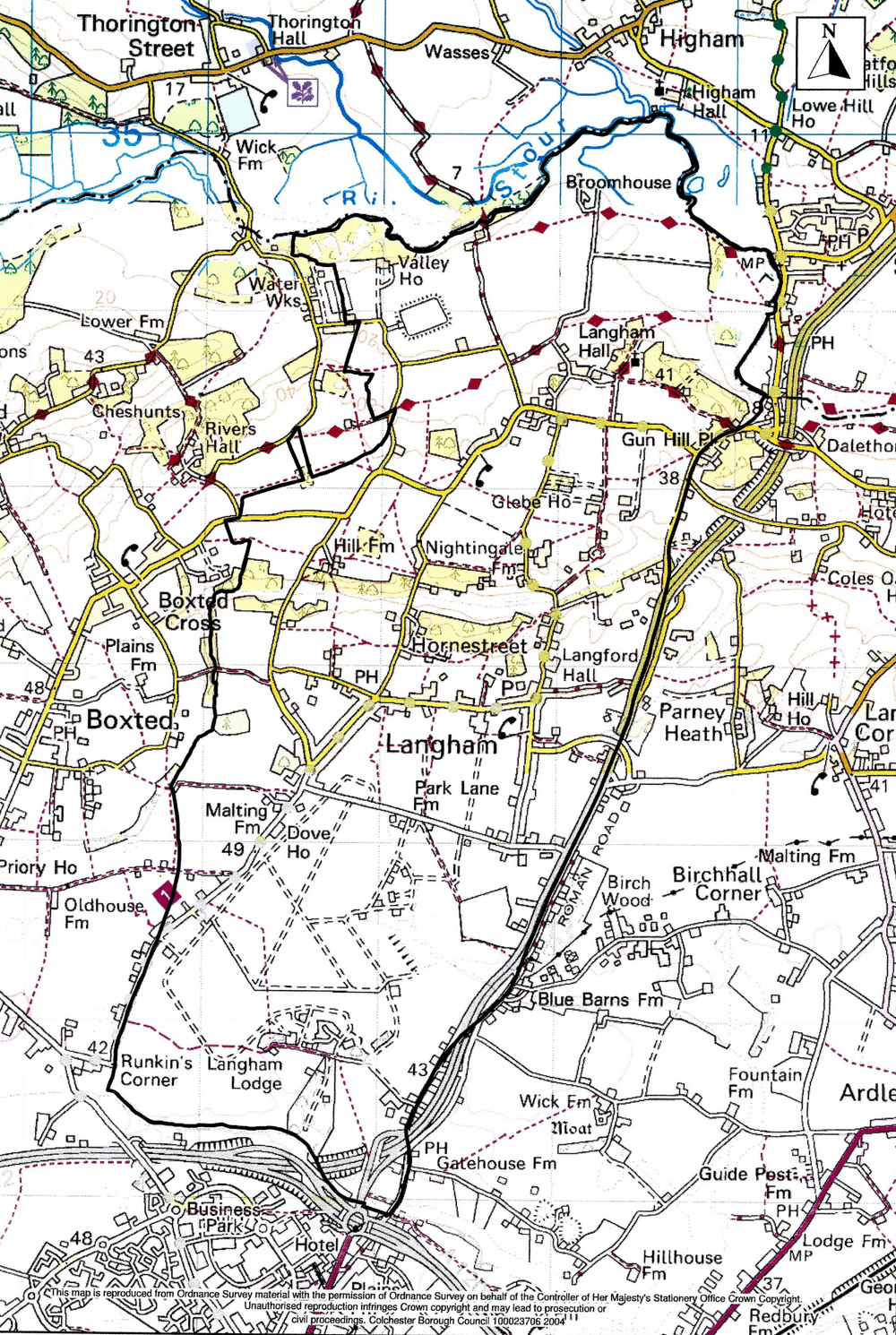
The parish of Langham, 2,977 acres (1,205 hectares) in area, lies immediately north of the town of Colchester. The River Stour forms the northern boundary of the roughly rectangular parish and Salary Brook the southern boundary with Myland and High Woods in Colchester. The western boundary with Boxted follows field boundaries and a stretch of the Black Brook, a tributary of the Stour. The eastern boundary with Dedham and Ardleigh broadly follows the old main road from Colchester to Ipswich.
The Past
There is significant evidence in the parish of very early settlement, including the sites of Neolithic barrows and a Roman farmstead. Initial habitation and development seem to have begun in the north, on the site of the Hall and church. Farming began here and moved south, pausing for a while at the line of the Black Brook. In the Middle Ages, the land south of Park Lane was a Royal Forest and the last area to be farmed. However, it seems clear that, by the middle of the nineteenth century, the commercial centre of the village was along School Road.
The Present
With no single centre of population, habitation is dispersed throughout most of the parish and there are still significant areas of agricultural land. Perhaps the most obvious feature is the extensive arable land (an airfield in WW2) in the central area bounded by School Road, Wick Road, Park Lane and Moor Road. This large open space in the centre of the village gives the latter its unique character and is highly valued by all residents, particularly by younger people. There are industrial areas at Lodge Lane, Gun Hill and School Road and small business premises in Langham Lane, Old Ipswich Road and Park Lane. The remaining land use is agricultural or residential. The population in 2020 numbers about 1,000, spread through some 450 households. Most adults work in the service industries in Colchester, Ipswich or London. There are, however, considerable numbers of retired residents who, with the young people, create a sense of activity during the working day.
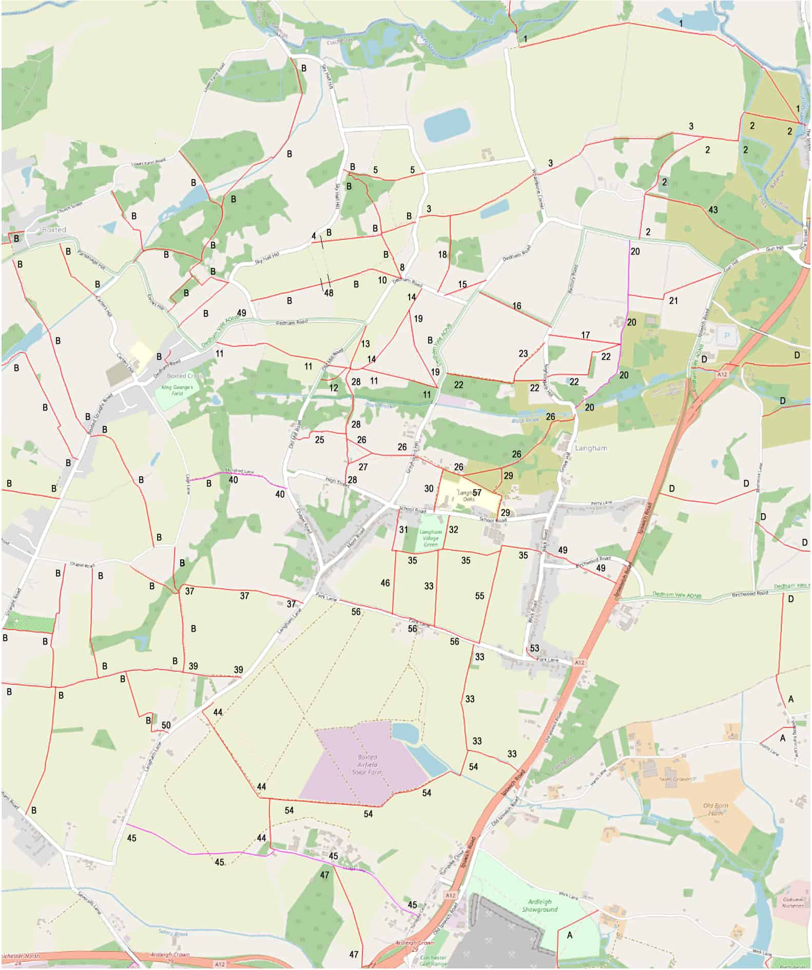
Langham Maps
Parish Boundary

Click image above for larger version.

